
Five days before Hurricane Melissa made landfall in Jamaica, a single forecast flagged a brutal escalation: a Category 5 storm on approach, despite Melissa being a Category 1 at the time. Meteorologists were divided. The model was not.
That model is WeatherNext — a collaboration from Google DeepMind and Google Research, built with input from international institutions including the U.S. National Hurricane Center and the UK Met Office. It arrived as open-source software, trained on nearly 20 terabytes of global atmospheric data plus decades of archived climate records from international repositories. The result is an AI system that treats a cyclone's path and its raw power as a single, linked puzzle.
Why does that matter? Because forecasting a storm’s track and forecasting its intensity are usually done by different teams using different models. One looks at planetary-scale winds to map a route. The other zooms into the storm’s eye to model thermodynamics and small-scale processes. Putting both parts together has been a persistent headache. WeatherNext fuses them.

The practical payoff is immediate. On Google's neural processing hardware a full 15-day forecast is produced in under 60 seconds. Rapid turnaround like that makes it feasible to generate large ensembles — not one deterministic outcome, but hundreds or thousands of plausible futures — and to translate those into probabilistic hazard maps that emergency managers can act on.
WeatherNext doesn’t promise certainty. It trades illusion of certainty for a spectrum of possibilities. That’s deliberate. To tame the butterfly effect — where tiny measurement errors balloon into large forecast differences — the model now constructs up to 1,000 concurrent scenarios for each storm. That’s a dramatic jump from last year’s roughly 50-scenario ensembles, and it changes how forecasters interpret risk.
An extra day of reliable warning is not abstract: it buys time for evacuations, logistics, and life-saving decisions.
Operational testing tells a vivid story. During Melissa, when conventional systems disagreed on the track, WeatherNext signaled with about 80% confidence that the cyclone would intensify and strike Jamaica as a major storm days before landfall. That kind of early, integrated prediction converts uncertainty into actionable planning.
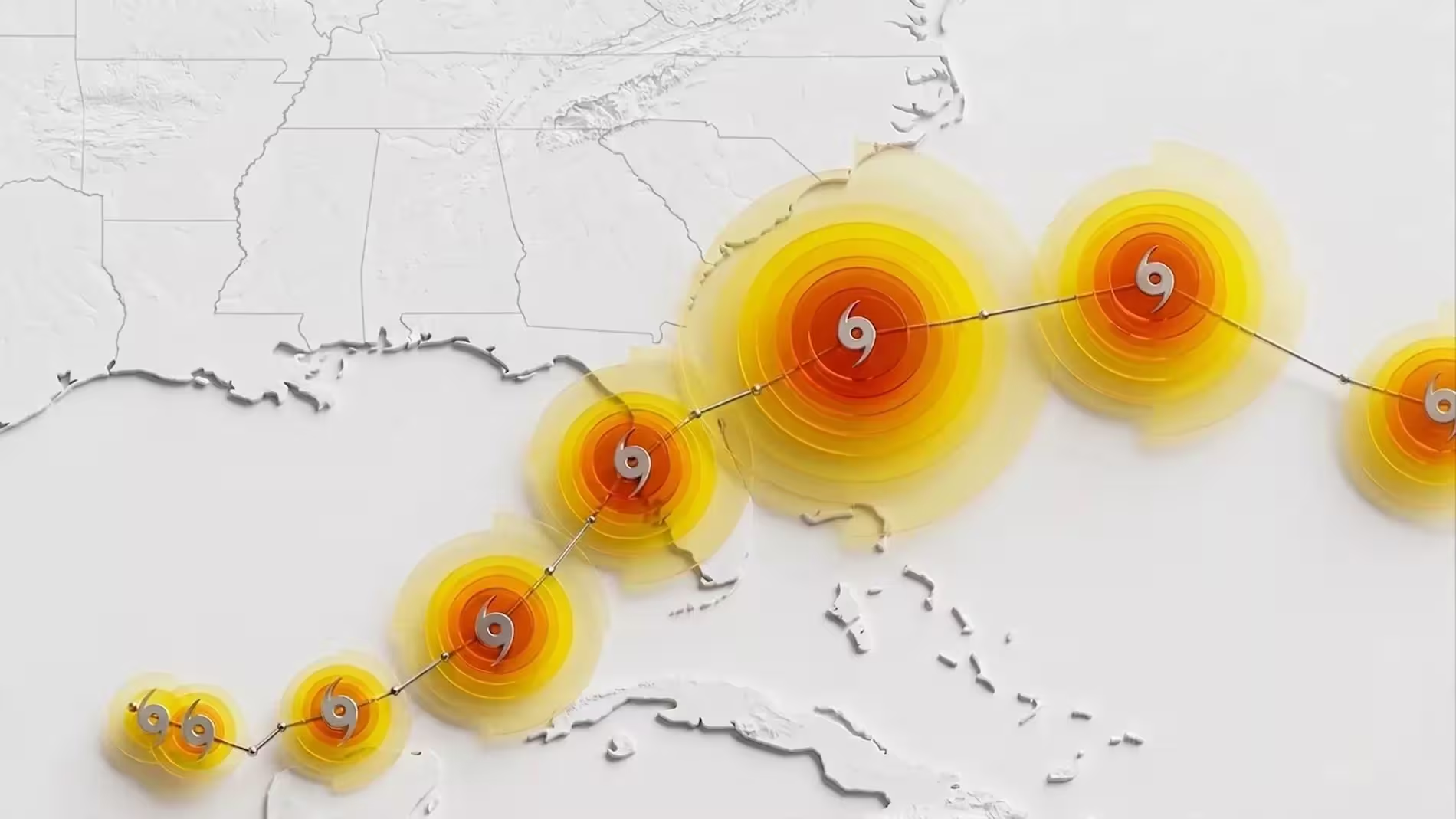
There are technical subtleties. The model blends global-scale dynamical context with local-scale intensity drivers using machine learning architectures optimized on vast historical records. It then yields probabilistic distributions of both position and strength, enabling forecasters to estimate not just where a storm might go, but how violent it might be when it gets there.
Publishers and peer reviewers have taken note: the research appears in Nature, and the team has open-sourced the model code and weights on GitHub, inviting independent validation and operational experimentation by national meteorological services, academic groups, and NGOs. That openness could accelerate improvements and foster region-specific tuning where data and needs vary.
Will WeatherNext replace traditional models? Not overnight. Numerical weather prediction still underpins much of forecasting. But combining that backbone with AI-driven ensembles and speed changes the workflow. Emergency planners get earlier, more nuanced warnings. Researchers get a shared platform to probe failure modes and biases. Communities get time — and sometimes that is the difference between disruption and catastrophe.
Watch the repository. Watch the forecasts. The next season will show whether this blend of scale, speed, and probabilistic thinking becomes the new normal for cyclone prediction.


Leave a Comment
Comments
No comments yet. Be the first.