5 Minutes
New geological evidence points to a northern Martian ocean
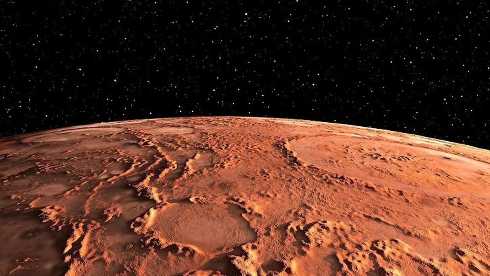
Billions of years ago, Mars may have resembled Earth in one crucial respect: extensive surface water. A new study from the University of Arkansas presents geological evidence that large rivers once drained into a vast ocean or sea in Mars’ northern hemisphere. The analysis draws on comparisons between river-deposited rocks on Earth and sedimentary features visible from orbit on Mars, indicating mature deltas and long backwater zones consistent with river mouths entering standing water.
Researchers combined orbital imagery, topographic data, and terrestrial field analogs to build a coherent case that the northern lowlands of Mars hosted an extensive body of standing water during the planet’s early history. The study, published in Geophysical Research Letters, highlights deltaic deposits and channel morphologies that are difficult to reconcile with isolated, short-lived streams alone.
How rivers shape deltas: channel belts and backwater zones
Rivers naturally meander and migrate over time, carrying sediment—sand, silt, and clay—from upland sources toward lower elevations. The zone occupied by a river as it shifts laterally over geologic time is called the channel belt. As a river approaches a large, relatively still body of water such as an ocean or lake, flow velocity decreases and the river’s capacity to transport sediment drops. Coarser particles are deposited first, building a delta and narrowing the active channel belt near the shoreline.
A key diagnostic of a river entering a large standing body of water is the presence of an extended backwater zone: a region upstream where flow is slowed by the standing water and where sediment settles out over long distances. On Earth, the Mississippi River’s backwater extends roughly 230 miles (about 370 km) upstream from the Gulf of Mexico to near Baton Rouge. Similar, large-scale backwater signatures imprinted in Martian sediments would strongly suggest prolonged river discharge into a northern sea rather than isolated fluvial activity.
The University of Arkansas team identified patterns on Mars that match terrestrial backwater-driven delta morphologies. These Martian features are visible from orbit because they span tens to hundreds of kilometers—a scale large enough to persist in the planetary record.
Topographic inversion: reading ancient riverbeds as ridges
One of the most powerful tools for interpreting ancient rivers is the concept of topographic inversion. In active rivers, the coarsest grains settle to the bed. If the channel is later abandoned, those coarse sediments can become cemented into hard rock—typically sandstone—while surrounding finer sediments erode away more easily. Over millions of years, erosion removes the softer material and leaves the former channel as a positive relief feature, an inverted ridge.
On Earth, tectonics can expose these ancient channel deposits. On Mars—where plate tectonics is absent—the process is more likely dominated by differential erosion: wind and limited water remove surrounding fines, leaving cemented channel beds as inverted ridges. These inverted channel belts have been mapped across Mars and are compelling markers of long-lived fluvial systems.
In northwest Arkansas, researchers studied the Wedington Sandstone, a 300-million-year-old unit that preserves an inverted network of channels. Field observations there helped the team calibrate their interpretations of Martian ridges and deltas. The Wedington example is notable because it contains what the team describes as an inverted river delta—an unusual terrestrial analog that bridges field geology and remote sensing on Mars.
Key discoveries and implications for Mars exploration
The study’s main findings are:
- Orbital-scale deltaic deposits and long backwater zones on Mars are consistent with large rivers flowing into a northern ocean or very large sea.
- Inverted channel belts and deltas visible from orbit provide a durable record of sustained fluvial activity and sedimentation on Mars.
- Terrestrial analogs, such as the Wedington Sandstone, offer ground-truth examples that refine how scientists read Martian sedimentary landscapes.
If an ancient northern ocean existed, the implications are significant for climate, surface evolution, and the potential for habitable environments on early Mars. Large, persistent bodies of water would increase the likelihood of long-lived, near-surface aqueous environments—conditions that, on Earth, are associated with life.
The study relies on remote-sensing datasets (high-resolution imagery and digital elevation models) combined with sedimentology principles and field observations. Future rover missions and targeted orbital campaigns could test the hypothesis further by searching for sedimentary structures, grain-size indicators, and mineralogical signatures (e.g., clays and sulfates) that record prolonged standing water and delta formation.
Expert Insight
"Large-scale sedimentary architecture is the fingerprint of past hydrology," says Dr. Maya Patel, a planetary geologist (fictional) who studies ancient river systems. "When you can match delta geometry and backwater extent with terrestrial analogs, you move beyond speculation. This work makes a persuasive case that Mars’ northern plains were not just wet patches but hosted sustained fluvial-to-marine systems that left a lasting stratigraphic record."
Such expert commentary underscores that multidisciplinary approaches—combining planetary remote sensing, sedimentology, and field geology—are essential for reconstructing Mars’ watery past.
Conclusion
The University of Arkansas study advances the hypothesis that Mars once supported an expansive northern ocean by identifying sedimentary and geomorphic signals characteristic of river mouths and long backwater zones. By comparing Martian orbital data to Earth field analogs like the Wedington Sandstone, researchers can better interpret inverted channel belts and deltaic features preserved on Mars. These findings sharpen our picture of early Mars as a planet with more active hydrology than seen today and inform where future missions might search for sediments most likely to preserve biosignatures.
Published in Geophysical Research Letters, this work strengthens the case that Mars’ ancient climate allowed for sustained surface water, offering new targets and testable predictions for upcoming orbital and landed investigations into the Red Planet’s potentially habitable past.
Comments
No comments yet.
Leave a Comment