
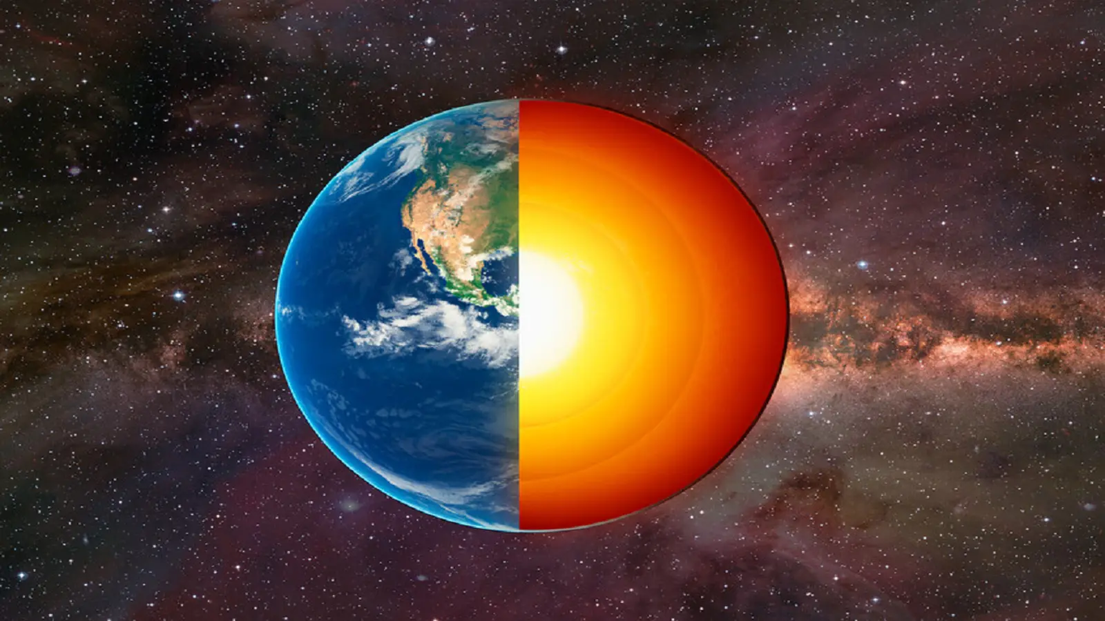
Imagine tracking a point inside the planet so precisely that its annual wanderings measure less than the width of a grain of rice. That is essentially what a team of geodesists has just done: they have traced the Earth's center of mass—known as the geocenter—with sub-millimeter accuracy and discovered its seasonal sway is only about half as large as earlier estimates.
People often picture the center of mass as a fixed dot near Earth's core. For casual purposes that image works. For high-precision science and navigation it does not. The geocenter slips slightly through the year as water and air redistribute across oceans, continents and the atmosphere. Snowpack, monsoon rains, ocean loading and shifting atmospheric pressure all tug on the planet's effective center of mass, nudging it by millimeters.
The effort to pin this motion down began decades ago, with NASA's LAGEOS satellites in the 1970s. Those shiny, laser‑tracked spheres were revolutionary. They allowed scientists to gauge Earth's gravity and, indirectly, the geocenter. Still, early approaches left out some subtle but important effects—like how added water weight bends the crust and moves ground stations themselves.
The new study, a collaboration including researchers at NASA's Jet Propulsion Laboratory, the University of Nevada, the University of Montana and Germany's Helmholtz Centre, revisited the problem with richer data and a keener eye for cause and effect. By combining precise GPS tracking with orbital data from several low-Earth satellites and by explicitly modeling how water masses load and deform Earth's crust, the team produced a cleaner record of the geocenter's seasonal trek.
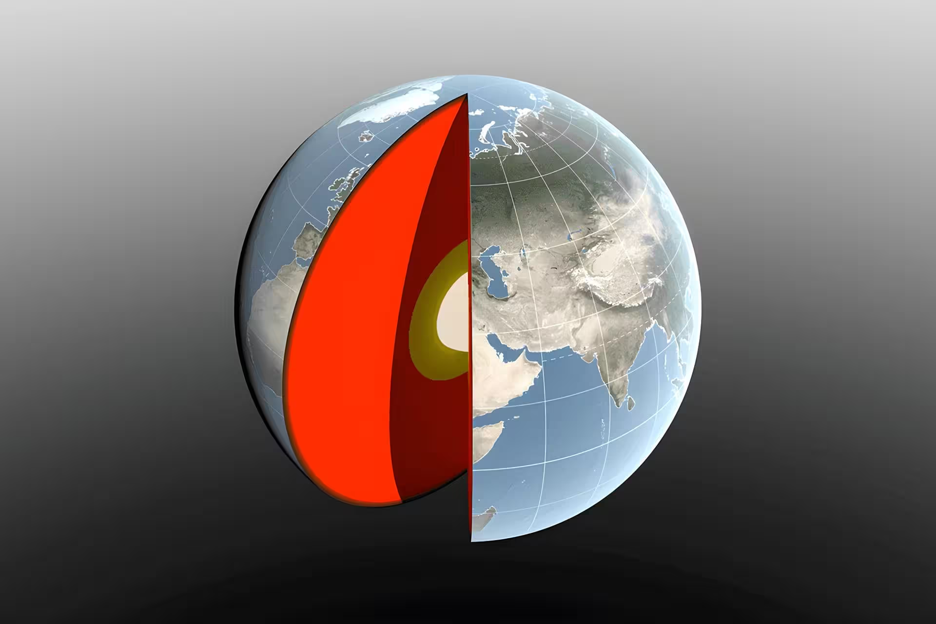
The results reveal predictable rhythms. When winter snow builds across North America and Eurasia, roughly around March, the geocenter nudges about three millimeters toward the northern hemisphere. In April, when the Amazon basin swells with rainy-season runoff, the center shifts roughly 2.2 millimeters toward South America. Between August and October, meltwater and ocean mass changes push the geocenter slightly toward the Pacific, with atmospheric mass variations also contributing.
Numerical weather models helped untangle the atmosphere's role. The European Centre for Medium-Range Weather Forecasts (ECMWF) model shows atmospheric mass peaks around July—about three months after continental water reaches its maximum and three months before the ocean mass maximum. In short, air and water take turns pulling the planet's balance point in modest, but measurable, directions.
An independent test reinforced the finding: geocenter shifts inferred from satellites' orbits matched the redistribution predicted by geophysical models of atmospheric, oceanic and continental water masses. And the headline result: the annual back-and-forth amplitude is roughly half what scientists believed eight years ago. As Donald Argus, a member of the team, put it, the amount of mass moving between hemispheres is smaller than previously thought.
Small as these motions are, they matter. Modern technologies depend on ultra-precise reference frames. Satellite navigation, global mapping, tectonic studies and even precision farming rely on coordinates tied to an accurate geocenter. Errors of a few millimeters can propagate into positional mistakes for systems that demand the highest fidelity.
“We live in a world where position measurements are expected to be exact,” said one co-author. “Understanding the mechanisms that nudge our reference frames lets us build better frames—and better maps, navigation and monitoring tools.”
The work appears in Geophysical Journal International and offers a subtle but important recalibration of how Earth’s seasonal cycles reshape the invisible center that anchors our planetary coordinate systems. When water and air shift, satellites, maps and instruments must follow—and now we know that motion with finer accuracy than before, opening the door to sharper Earth observations and navigation for everyone.


Leave a Comment
Comments
No comments yet. Be the first.