3 Minutes
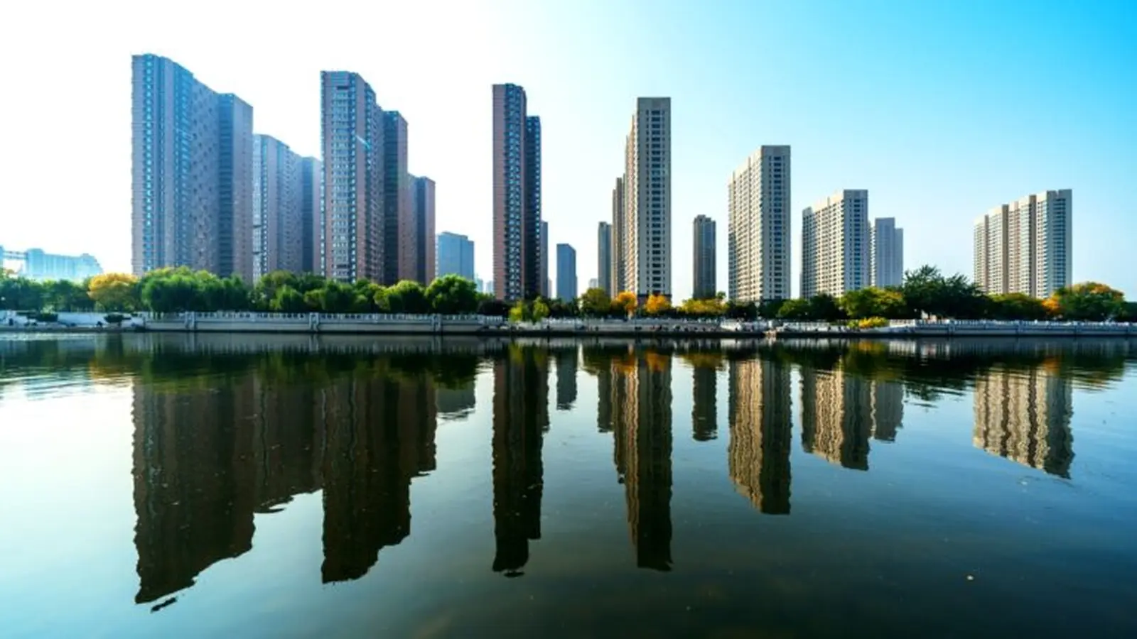
New global modeling shows that long-term sea-level rise could immerse tens to hundreds of millions of buildings worldwide, with large consequences for coastal neighborhoods, ports and industrial zones. These estimates are conservative — they don’t yet account for erosion, storm surge or stronger tides, factors that would only increase the exposed area.
How many buildings are at stake?
Researchers estimate roughly 45 million buildings would be affected if global sea levels rose by 5 meters. In a far more extreme scenario — 20 meters of rise — that number jumps to more than 130 million structures. The damage isn’t evenly distributed: some countries could lose over 80 percent of their built environment in the 5-meter scenario, depending on coastal topography and where people have built.
Because vulnerable buildings cluster in low-lying, densely populated areas, whole neighborhoods can be put at risk at once. Critical infrastructure such as ports, freight yards and industrial districts are often sited near sea level for operational reasons, and this concentrates exposure.
Why the study’s numbers are a baseline — and probably conservative
The team deliberately modeled inundation from rising water levels but did not include secondary processes like shoreline erosion, increased storm surge height, or tidal amplification. By omitting these dynamics, the reported totals represent a minimum estimate of future risk. In other words, real-world impacts could be larger and occur sooner.
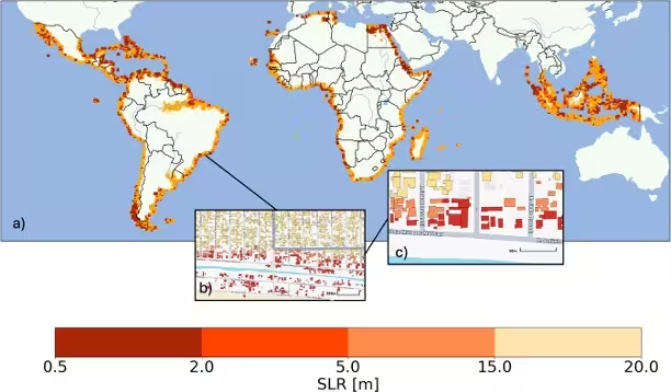
Jeff Cardille, an ecologist involved in the study, said he was surprised by how many buildings are threatened even under relatively modest long-term sea-level rise. Local coastal slope and settlement patterns — where buildings sit relative to the shoreline — play an outsized role in a country’s vulnerability.
From maps to action: planning for an uncertain coastline
The researchers released an interactive risk map to show hotspots of exposure. That tool can help urban planners and policymakers by guiding land-use decisions, informing adaptive design (e.g., raised construction, seawalls, managed retreat), and prioritizing where to invest in defenses or relocation.
Global sea level is currently rising at about 4.5 millimeters per year, and most projections indicate this rate will accelerate for decades as glaciers and ice sheets continue to lose mass. "There is no escaping at least a moderate amount of sea-level rise," said Maya Willard-Stepan, an environmental scientist and co-author now at the University of Victoria. "The sooner coastal communities start planning, the better their chances of continuing to thrive."
For planners, engineers and communities, the message is clear: mapping projected inundation is not just an academic exercise. It’s a practical tool for steering development, protecting infrastructure and making hard choices about when and where to retreat from the rising tide.
Comments
No comments yet.
Leave a Comment