
4 Minutes
Think melting ice is the whole story? Many of us do. It’s an easy image to hold: distant glaciers calving, great ice sheets collapsing, and seawater creeping higher. The reality, a new global reassessment shows, is subtler — and in some ways more unsettling.
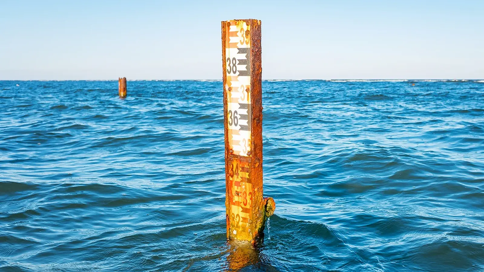
An international team of scientists reworked decades of observations and, piece by piece, closed a long-standing mystery: why observed sea-level rise seemed to outpace what researchers could explain. The answer isn’t that the ice has been silent; it’s that the oceans themselves are swelling as they warm. That thermal expansion now accounts for the single largest share of the rise.
Researchers divided their review into three overlapping windows: the tide-gauge and early satellite era stretching back to 1960, the high-precision satellite record from 1993 onward, and the recent period from 2005 when Argo floats began delivering comprehensive temperature profiles of the global ocean. Stitching these datasets together revealed a clear acceleration. Since 1960, the global mean sea level climbed at roughly 2.06 millimeters per year. But from 2005 to 2023 that pace nearly doubled to about 3.94 millimeters per year.

How much does each factor contribute? The team’s reconciled budget assigns about 43 percent of the modern rise to thermal expansion — warm water takes up more space — with melting mountain glaciers responsible for roughly 27 percent. Greenland’s ice sheet contributes about 15 percent and Antarctica around 12 percent. Human changes to land water storage, from reservoirs to irrigation shifts, make up the final few percent.
Warming water expanding in volume is the dominant driver of recent sea-level acceleration.
Why did this go unnoticed for so long? Partly because measuring the ocean’s warming requires sustained, global sampling. Argo floats, which profile temperature and salinity down to two kilometers, only came online in large numbers in the early 2000s. Satellite altimetry has improved in resolution. Glacier inventories are better mapped. Combine more precise instruments with smarter cross-checking of multiple datasets, and the apparent budget gap shrinks.

“For years, there was a frustrating mismatch between how much the sea level rose and how much we could add up from known sources,” says John Abraham, a mechanical engineer involved in the work. With upgraded measurements and consolidated methods, the different threads now tie together far more neatly.

The practical implications matter. Balancing the global mean sea level (GMSL) budget is not an exercise in pedantry; it’s how we test whether our observations and models are trustworthy. When everything adds up, projections of coastal impacts become sharper — and policymakers can plan with better odds.
There is a sobering caveat. The oceans have enormous thermal inertia. Even if greenhouse gas emissions were curbed rapidly, models suggest sea temperatures — and therefore sea levels — would continue rising for decades. That inertia makes some degree of future coastal disruption inevitable. How severe that disruption becomes hinges on both emissions and the quality of regional data.
The authors call for more targeted measurements: better accounting of land water change from human activities, finer regional estimates of sea-level change, and continued investment in satellite and in situ monitoring. Those details matter because sea-level rise is not uniform; some shorelines will face higher or faster increases than others.
Millions of people live in low-lying coastal zones. Their homes, food systems, and transport links are vulnerable. The study reframes the conversation: while losing ice remains a dangerous and visible symptom of warming, the quieter, global-scale swelling of the ocean is the leading actor in today’s accelerated sea-level rise. That understanding should sharpen adaptation strategies and, crucially, underline why emissions reductions still matter — even if the ocean’s response will continue long after emissions fall.
Recognizing the ocean’s role brings urgency and clarity. What we measure better, we can plan for better.

Leave a Comment
Comments (2)
If thermal expansion is the biggest piece, why didnt we notice sooner? Argo floats explain a lot, but regional differences could change everything. Are coastal plans flexible enough, or are we underestimating risk...
Whoa, didnt realize warm water volume beats ice melt now. Ocean thermal inertia is brutal, even if emissions drop sea level keeps rising for decades. Kinda terrifying, not ready