
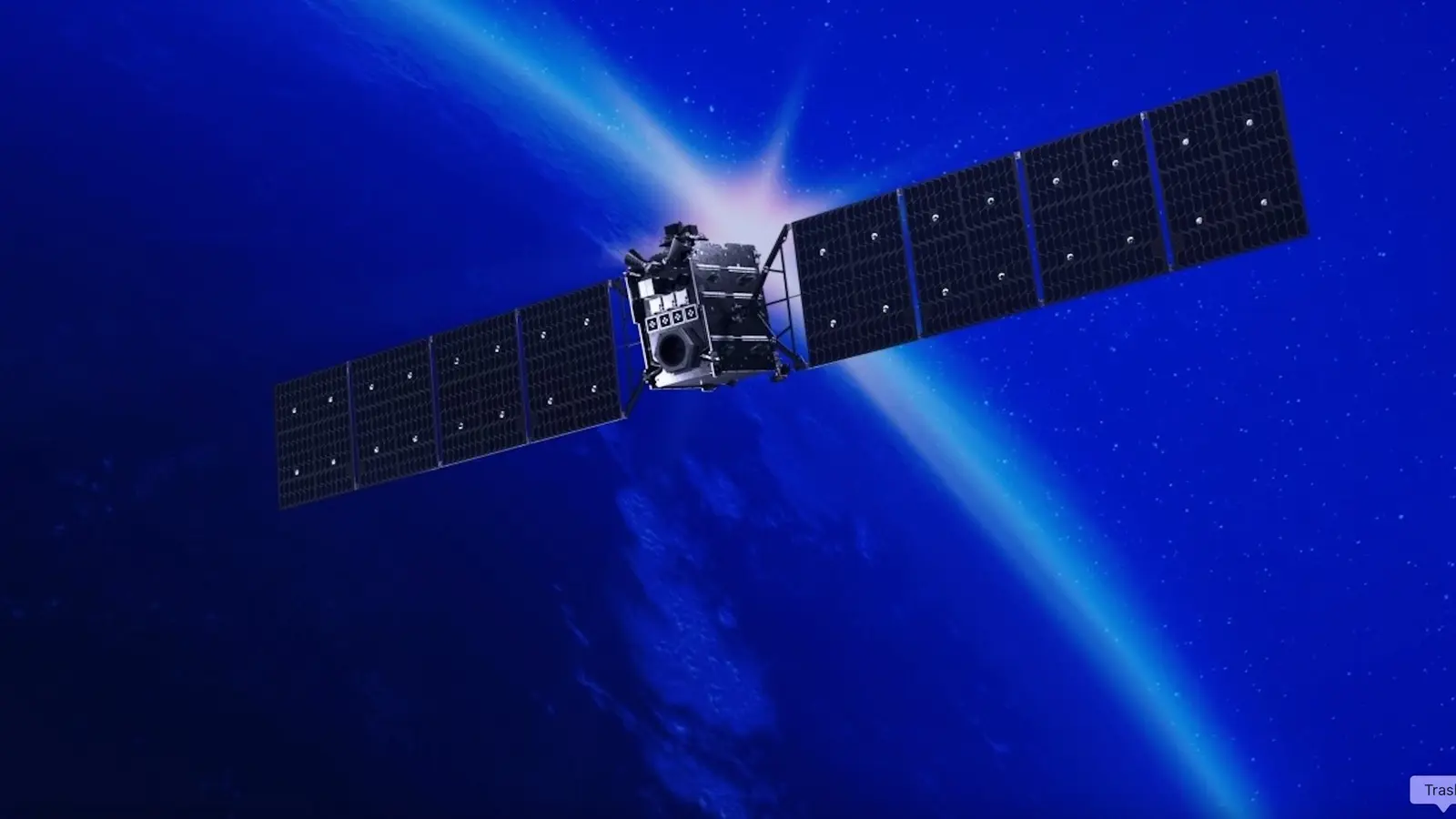
Imagine a satellite that stops asking Earth for directions and starts reading the sky like a map. That’s essentially what NASA’s Starling mission has begun to prove: satellites can find themselves by using other objects in orbit as landmarks instead of relying on GPS.
It sounds simple. It isn’t. Signals from GPS fade or become unreliable once you leave low Earth orbit. Around the Moon and farther out, traditional navigation nets offer little cover. So engineers asked a different question: what if a spacecraft could use the catalogue of orbiting objects—other satellites, derelict hardware, even debris—as reference points? The answer arrived in a compact package called FALCON, short for Fast Autonomous Lost-in-space Catalog-based Optical Navigation.
FALCON fused EraDrive’s Era-Core flight software with Starling’s cameras and an onboard catalog of tracked objects, letting the tiny spacecraft compare what its cameras saw against known orbital predictions. When matches are made, the ship computes its own position and, at the same time, refines the predicted paths of those nearby objects. The results were striking. Over a brief, three-day stretch, the system improved orbit estimates for more than 200 objects without ground controllers stepping in.
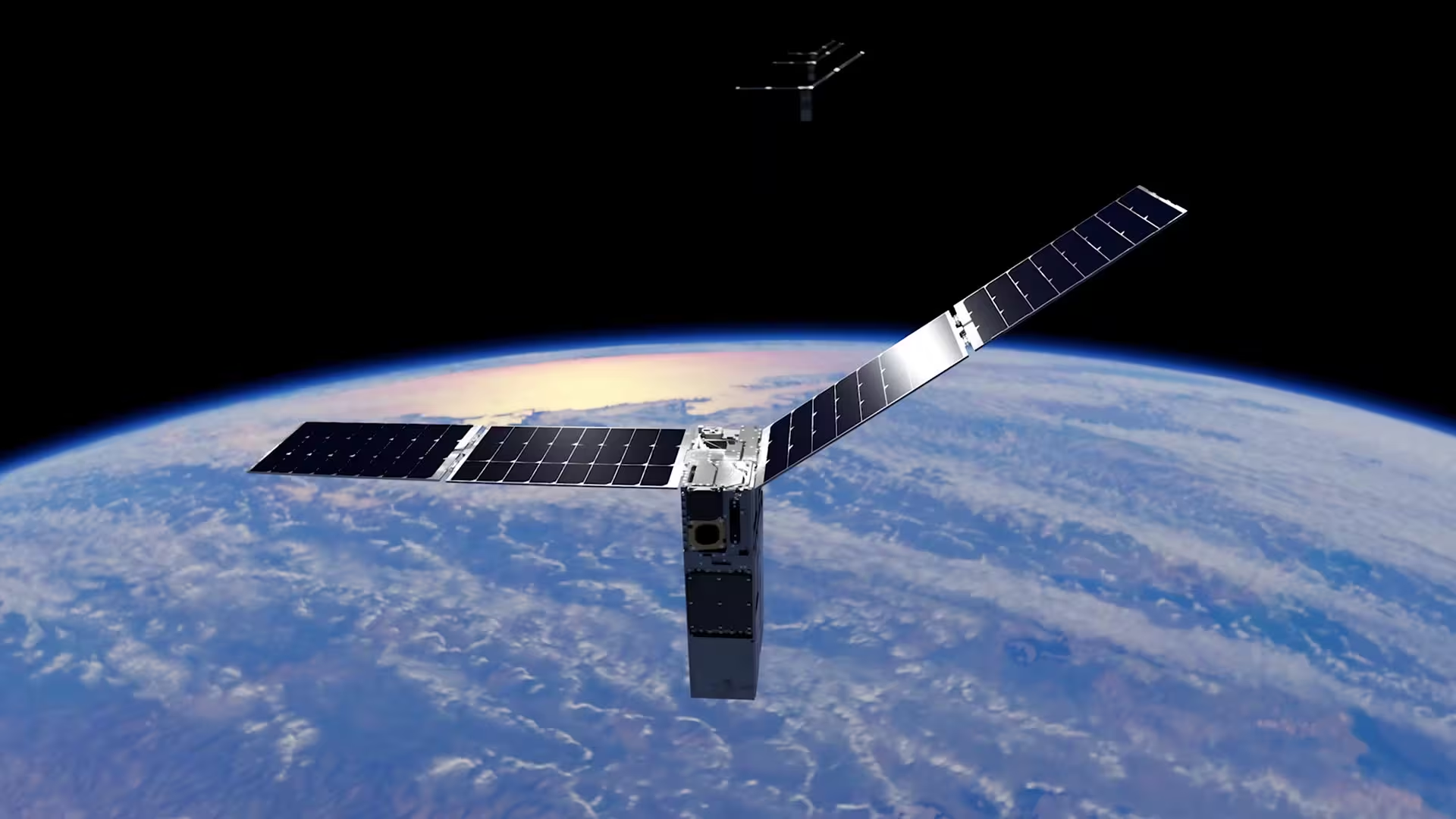
Why does that matter? Precise positioning isn’t just a navigational convenience. It underpins coordinated science campaigns, constellations that must hold formation, and any crewed operations beyond Earth where support craft need to know where they are and where others are headed. Autonomous optical navigation could also reduce the load on ground stations and turn satellites into proactive participants in space traffic management and collision avoidance.
Starling’s setup was practical and elegant. Engineers uploaded a catalog of roughly 20,000 tracked objects to the spacecraft. Standard star-tracker cameras—usually tasked with telling a satellite which way is up—were repurposed to identify other orbiting items. When an observed object lined up with a catalog entry, the software used that sighting as a landmark to tighten both the satellite’s self-location and the catalog’s prediction for that object.
Think of it like sailors using lighthouses: if you know the lighthouse positions, you can fix your position by sight. But sometimes, the lighthouse locations are fuzzy. FALCON both navigates and redraws the map simultaneously.

Satellites can now use nearby space objects as practical landmarks to navigate without GPS, and they can update the catalog of orbital paths from orbit.
The work is a collaboration between NASA and EraDrive, a company spun out of Stanford that commercialized the Era-Core software originally developed under university-led research. Starling, led by NASA’s Ames Research Center in Silicon Valley and funded by the Small Spacecraft and Distributed Systems program, provided the flight environment to take that software out of the lab and into real orbital conditions.
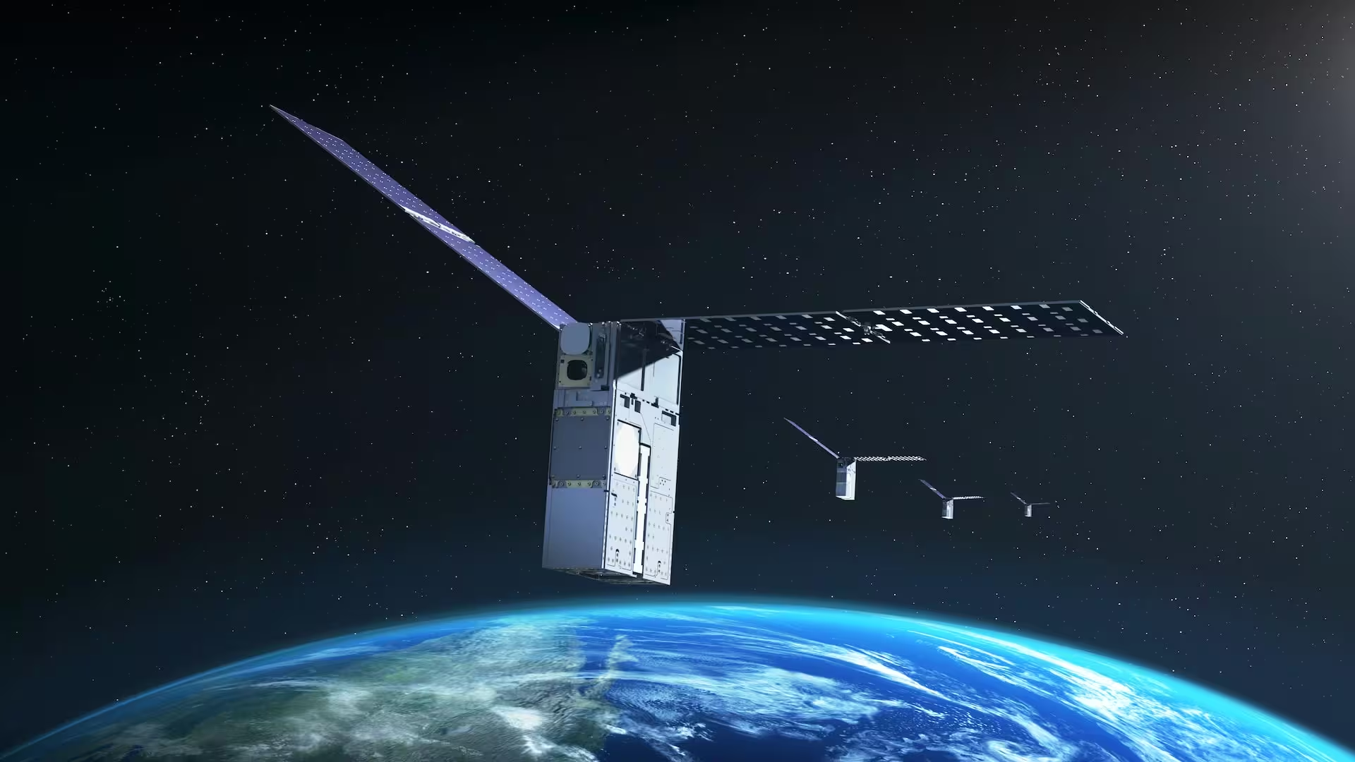
Starling launched in 2023 as a four-spacecraft swarm. Later this year the mission will expand the experiment: the satellites will share tracking data among themselves and further refine their relative positions. That cross-talk could make a network of GPS-free satellites more robust—especially useful for lunar swarms, distributed science platforms, or any mission where a reliable Earth-based navigation signal is out of reach.
There are also practical downstream effects. Better onboard orbit estimates mean improved collision warnings and more precise pointing for instruments that must align across different spacecraft. And by lowering dependence on Earth-based processing, missions could react faster to hazards or seize scientific opportunities on the fly.
Starling’s achievements reveal another trend: autonomy isn’t just a convenience for deep-space explorers; it’s an operational necessity for a crowded orbit and ambitions that stretch to the Moon and beyond. The experiment turned everyday cameras and clever software into a navigational toolkit, and proved that even small spacecraft can be smart copilots.
If satellites can learn to read each other as landmarks, the choreography of future space missions could become far more flexible—and far less tied to ground commands. Will that change how we design every mission from here on out? We’re about to find out.

Leave a Comment
Comments (2)
sounds cool, but how do they handle untracked debris or spoofed objects? Can optical matching be trusted far from Earth, hmm
Whoa, that's wild. Satellites using each other as landmarks? Mind blown. Kinda poetic, and also freaky that they can update maps on the fly... if it works